Tools that Support the Creation, Alteration, and Deletion of Features
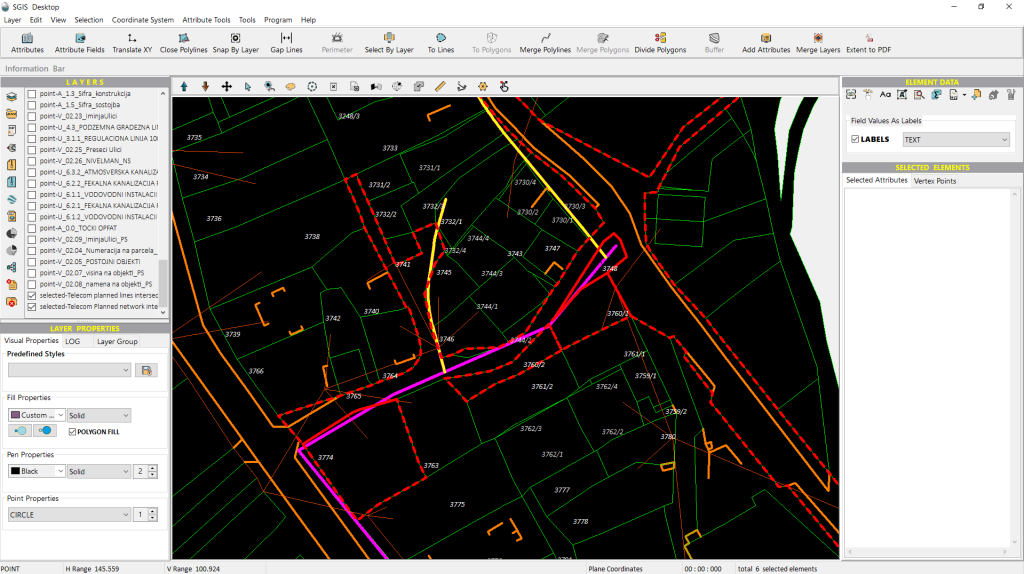
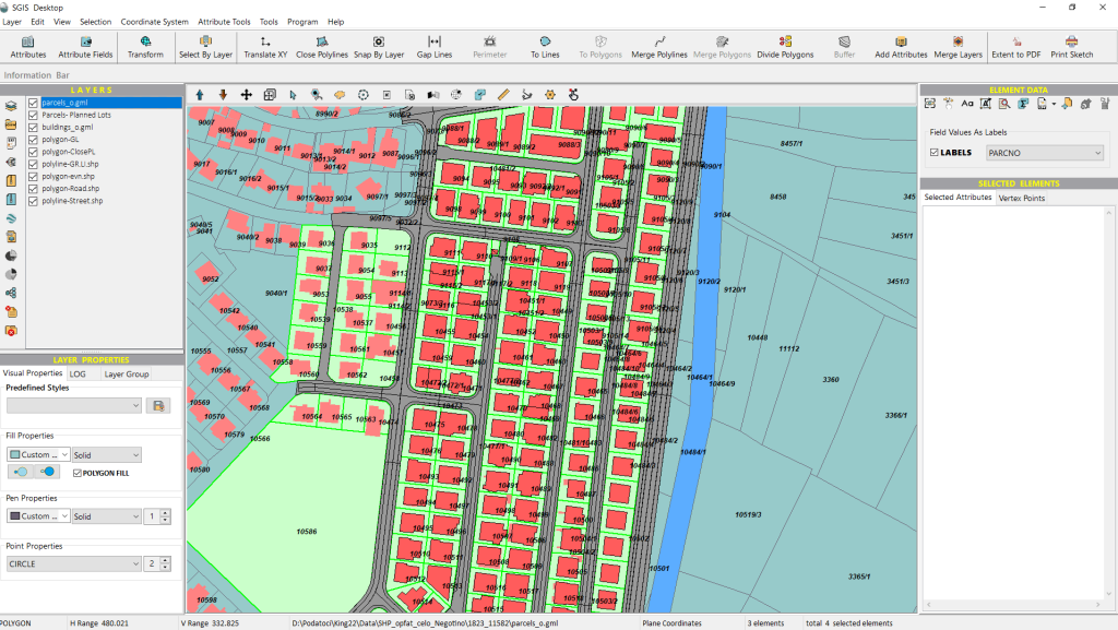
To achieve inclusivity in design, SGIS has developed technology that allows for the creation of features and shapes, shaping and editing of features and entities, all while retaining and maintaining their attributes.
How to make Advanced CAD editing in a GIS environment?
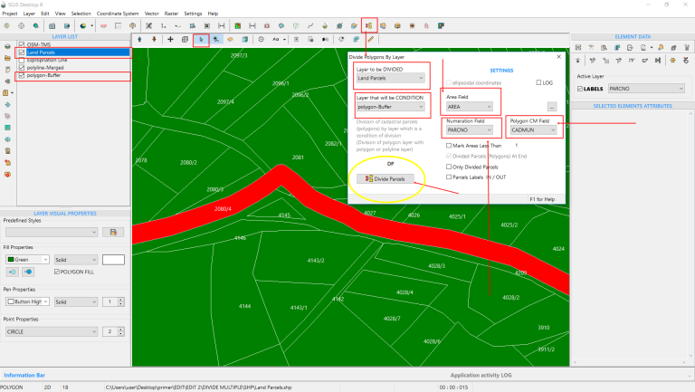
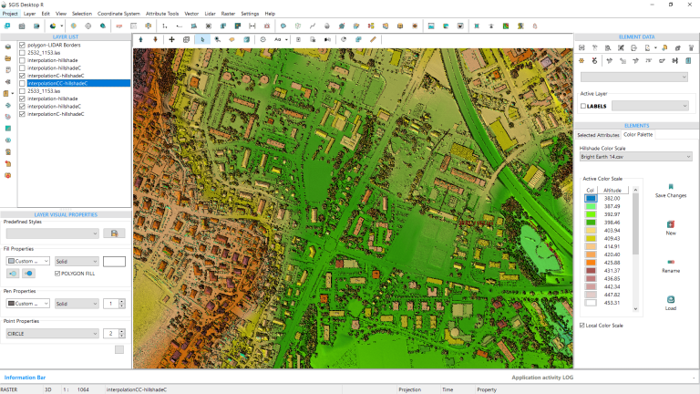
Advanced editing tools in GIS offer more sophisticated operations and enable users to perform complex editing tasks such as splitting, merging, buffering, spatial overlays, spatial selections or spatial joins.
In a practical guide, we’ve explored SGIS’s ‘Select by Layer’ tool, designed to streamline spatial selections. We highlighted its functionalities and practical applications through 11 real-case examples provided by users.
Welcome to our dedicated blog-stories section, where we are committed to actively engaging the geospatial community through the sharing of insightful stories and discussions on topics that are of common interest and relevance. Leveraging our expertise in the field, we aim to provide a unique perspective that delves into the intricacies of data and explores the technical details that form the foundation of the geospatial realm.
You might wonder, why are we engaging in storytelling and blog-like activities?
Well, our primary goal is to cultivate a dynamic and collaborative environment that fosters the exchange of knowledge and ideas. Isn’t it just fascinating to dive deep into the world of data? In the ever-evolving world of technology and software, a profound understanding of the technical details and adept execution of functions can unlock a ton of possibilities!
Moreover, we would like to offer detailed narratives of diverse real-life situations, showcasing the purposefully crafted functions tailored to each specific scenario.
We do acknowledge that in order to effectively utilize SGIS functions, it is crucial to learn and recognize data processing and analysis patterns, gaining a deeper understanding of how these functions were conceptualized and intended for various application purposes. However, Your insights are invaluable to us, as they help us refine the conceptualization and practical implementation of these functions.
That’s precisely why we sincerely encourage you to share your observations, ask questions, and provide feedback. Your valuable input is instrumental in our journey of continuous improvement and optimization. We wholeheartedly appreciate your active participation, and we are genuinely eager to learn from your unique perspectives!