Developing Green In-Built Algorithms for Colorizing LAS Data in GIS Environments
Published on: 19.07.2024
Why Colorize a Point Cloud?
Standard point clouds are incredibly useful, but colorizing them makes them even more valuable. Adding colors and near-infrared values from images to LAS points creates an immersive, photorealistic display. This enhanced visual feedback offers deeper insights into the characteristics of the point cloud, which is especially helpful for tasks like interactive data classification, digitizing new features, and setting reference points for 3D distance measurements.
SGIS v.R Technology:
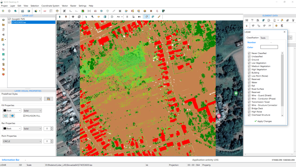
Let’s begin by importing the LAS file into SGIS v.R software:
Fig.1 A LiDAR point cloud and a tile-based map displayed in SGIS Desktop v.R.
Previously, we incorporated Google Satellite Imagery as a background layer. The algorithm seamlessly integrates with both image layers and tile map service layers. To showcase its efficiency and speed, we will colorize the LAS file using the base tile map as the underlying backdrop.
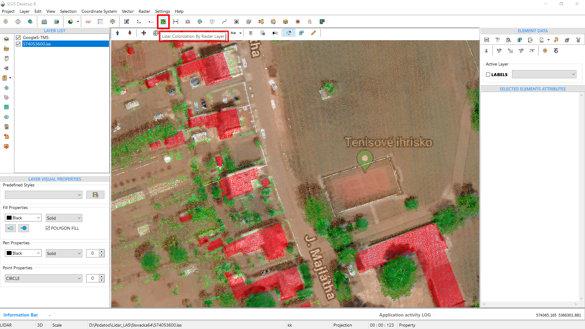
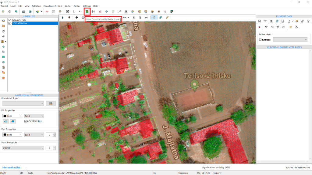
Fig.2 The ‘Colorize LAS’ function colorizes lidar data through raster overlay.
We need to proceed to the ‘Colorize LAS’ function. To access it, we simply click on it.
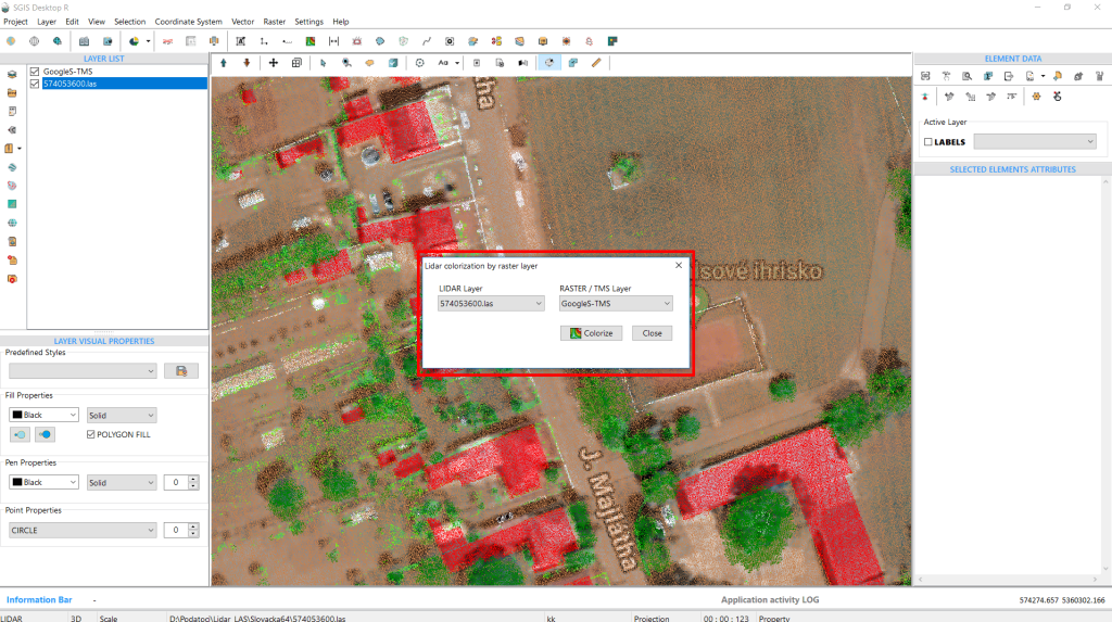
Fig.3 The dialog window for the 'Colorize LAS' function, allowing users to select their LAS layer and raster/TMS layer from the lists. Once selections are made, clicking 'Colorize' initiates the process.
Once the function is activated, a new dialog window appears. This window allows the user to select their LAS layer and their raster/TMS layer from the respective lists. After making these selections, we simply click on ‘Colorize’.
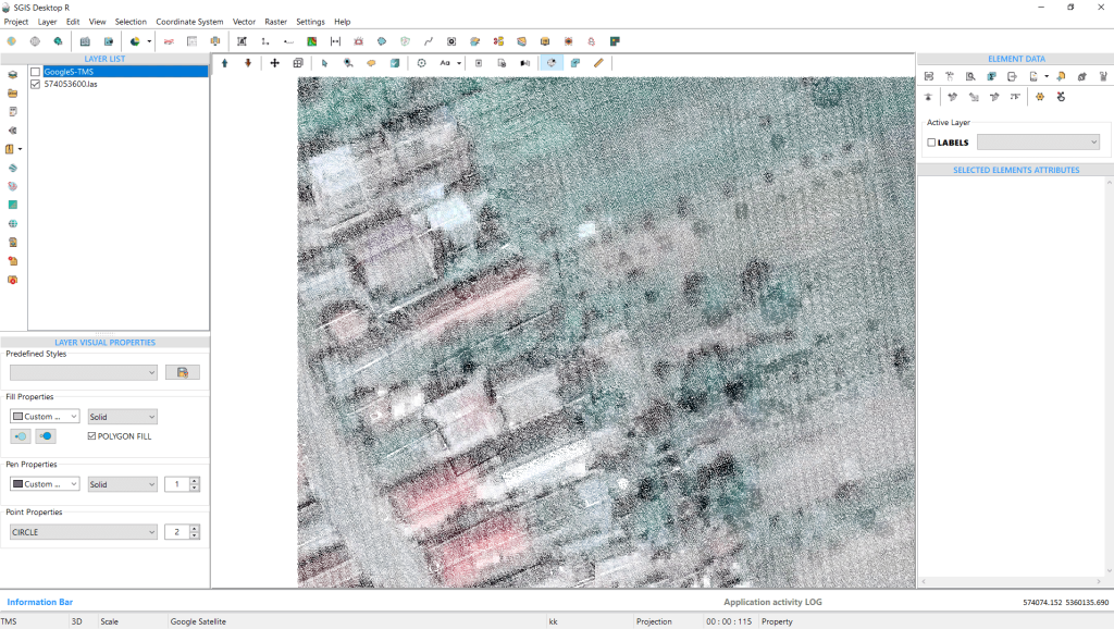
Fig.4 The LAS point cloud colorized in RGB.
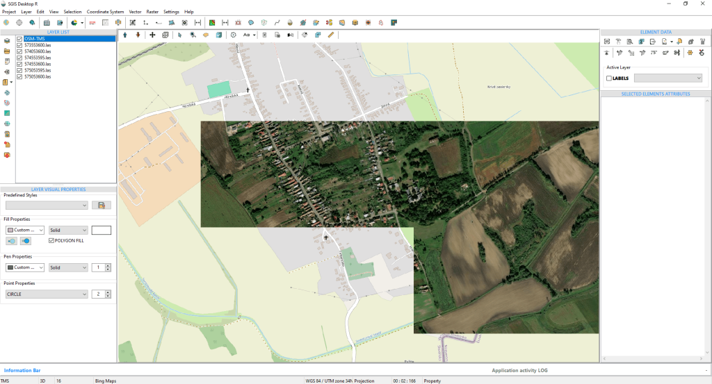
Fig.5 Multiple LAS files opened in SGIS v.R, with OpenStreetMap Tile Service as the background layer to ensure precise overlay.
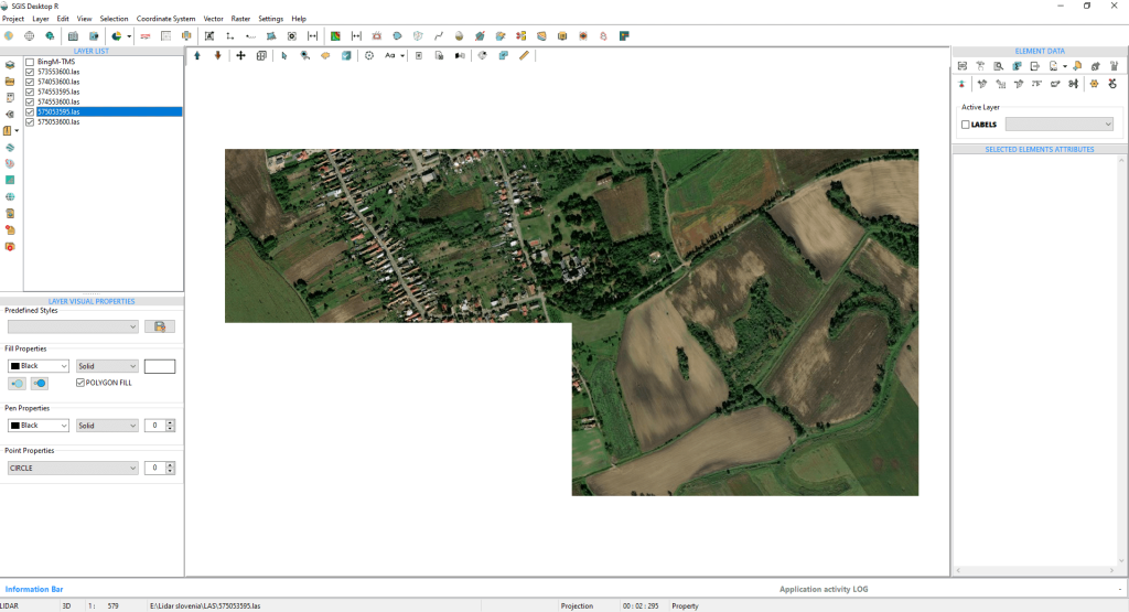
Fig.6 A previously added Bing Map was used to colorize multiple LAS files. The Bing Map is now unchecked to present the LAS files more clearly. Note that using the Tile Map Service for colorizing multiple LAS files is part of algorithm testing, showcasing the effectiveness of the SGIS v.R coloring LAS algorithm. The same procedure can be applied using an Orthophoto or True Orthophoto file (a Raster Image file) for enhanced precision and accuracy.
Fig.7 The procedure is complete, and we are now reopening OSM to showcase the overlay between the LiDAR data and the background layer.